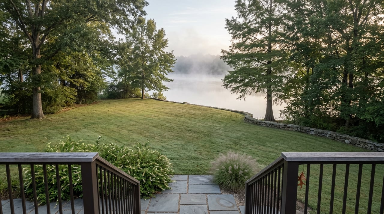
Somebody loads a kayak at the Highway 80 bridge every August, convinced this is the put-in everyone talks about, and finds the water choked with deadfall and rock before the first bend. They turn around, drive twenty minutes into town, and spend the rest of the morning wondering why the Little River Water Trail gets recommended so often if it's this hard to actually use.
The trail is fine. The put-in was the mistake.
Wilkes County has two outdoor routes that show up in every visitor guide and chamber blog: a paddle and a hike. Neither one works the same way at every access point, and knowing which entry to use, and when, is the difference between a good Saturday and a wasted tank of gas. That's the part worth writing down.
Four Access Points, Not One River
The Little River Water Trail runs along the Warren, McDuffie, and Wilkes county lines, ending at Clarks Hill Lake. Most sources put the length at 20 miles, though one guide counts 23, depending on where you decide the trail actually starts. Either way, the water is slow and rated Class 1, no whitewater, which is why it gets called a beginner trail. That part of the reputation holds up.
The four access points offer different conditions. The Highway 80 put-in at Woodruff Bridge is the farthest upstream and the least forgiving. When the county hasn't seen rain in a while, brush and fallen trees can block a large stretch of that section, and there's no way around it except portaging or turning back.
The Highway 78 access point, by contrast, is the one locals actually rely on. It sits about 12 miles from downtown Washington and roughly 11 miles from I-20 at Exit 172, with a paved boat ramp and a gravel lot that doesn't turn to soup after a storm. The current there is slow enough to paddle upstream and drift back down to the same ramp, and it holds consistent water even when the upper section is running low. If you're taking someone out for their first trip on the river, this is the entry point that won't embarrass you.
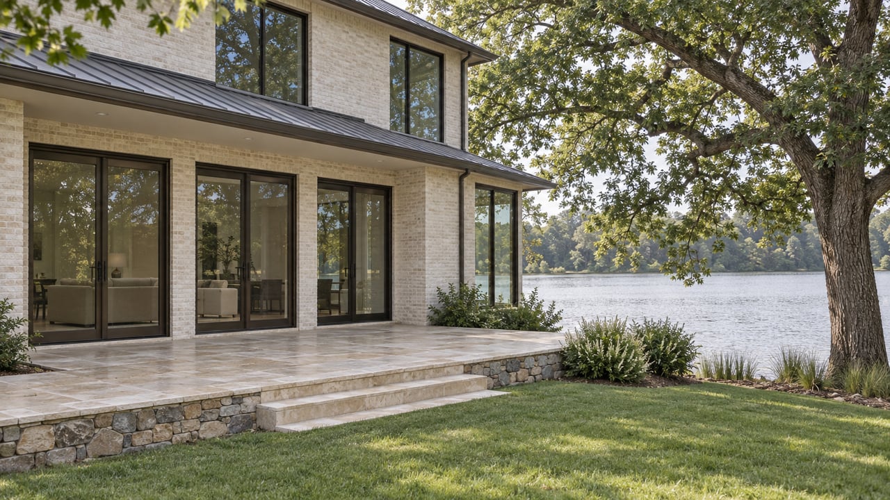
Farther down, Holliday Park on Clarks Hill Lake covers 333 acres and gives you a different kind of paddle entirely, open lake water instead of river channel. The park has 31 campsites, 12 with power and water and 19 primitive, and a general store where a two-dollar park pass gets you parking, bait, and firewood in the same transaction. Raysville Campground, the last stop before Thomson, rents kayaks and canoes if you didn't bring your own, which makes it the practical choice for a spontaneous afternoon rather than a planned trip.
For quick reference, here's how the four points actually differ:
- Highway 80 / Woodruff Bridge — farthest upstream, unreliable after dry weeks, best skipped without recent rain
- Highway 78 — the dependable entry, paved ramp, 12 miles from downtown, holds water in low conditions
- Holliday Park — lake paddling rather than river, camping and a general store on site, $2 pass
- Raysville Campground — closest to Thomson, rentals available for a same-day trip
None of this makes the river less worth paddling. It just means the trail rewards people who ask which access point before they ask which weekend.
Kettle Creek Battlefield: The Loop and the Cemetery Spur
Kettle Creek Battlefield sits about 11 miles south of town at the end of War Hill Rd, a 220-acre tract that's been on the National Register of Historic Places since 1975. The battle fought there on February 14, 1779, was the only Patriot victory in Georgia during the Revolutionary War, and the site still carries that weight. A monument raised in 1930 lists 106 confirmed names of the men who fought, and 15 gravestones mark soldiers who were reburied on the hill after the war.
The trail most people walk is the War Hill Loop, an easy 2.2-mile route with interpretive markers along the way. The Georgia Botanical Society has identified more than 332 plant species on the property, including 50 tree species, and the signage does a genuinely good job of naming what you're looking at as you go. The War Hill Loop is featured in photos, chamber brochures, and February reenactment writeups.
A spur toward Liberty Church Cemetery splits off the main loop about five minutes in. It's narrower, unmaintained in the way the interpretive loop is maintained, and overgrown enough in summer that walking it feels less like a nature trail and more like following a game path. One hiker who wrote up the experience for Georgia Outdoor News described going weeks, maybe months, without seeing another set of footprints on it.
I think of it this way: the loop is the version of Kettle Creek that's been curated for a visitor. The spur is the version that's just been left alone. Both are worth twenty minutes, but they're not the same twenty minutes, and it helps to know what to expect before you park at War Hill.
Why the Order Matters
Put the two together and the day has a shape to it that neither one has on its own. The river is calmest and coolest early, before the afternoon heat sits on the water, which makes the Highway 78 morning slot the better window for a first-timer or a family with kids. Kettle Creek, without much shade cover on the open parts of the loop, is more comfortable once the morning has already burned off the humidity, which puts the hike naturally in the early afternoon.
That leaves lunch in between, and Washington's historic square handles that part without any extra planning. Miller's Bistro sits right on the square and shows up as the lunch stop in at least one organized day trip that pairs the Washington Historical Museum with a Kettle Creek visit, which tells you it's already the default answer for people trying to string a full day together.
None of this is complicated once you know it. The river and the battlefield can be two halves of the same Saturday rather than two separate attractions.
What the Pattern Actually Says
Living somewhere long enough that you know which boat ramp holds water in a dry August, or which trail spur nobody bothers to clear, is a different relationship to a place than knowing its restaurant list. It's closer to the kind of local knowledge that shows up in land management and timber work more than in tourism, the kind you only get from actually walking a property instead of reading about it.
That's the same instinct that shapes how we think about acreage, waterfront, and recreational land across the Lake Country corridor. Knowing which access point holds water and which trail has been left wild isn't so different from knowing which tract drains well after a storm or which stand of timber has been managed and which hasn't. It's the same habit of paying attention to the ground itself rather than the description of it.
If you're weighing a move into Wilkes County, or you already call it home and you're thinking about what your land or your next property could become, The Hendrix Group brings that same on-the-ground attention to acreage, lakefront, and equestrian properties across Lake Country. Schedule a free consultation when you're ready to talk about what's actually possible on your piece of ground.